
Akl Council Geospatial Maps offers data for property, rating, underground services & parks
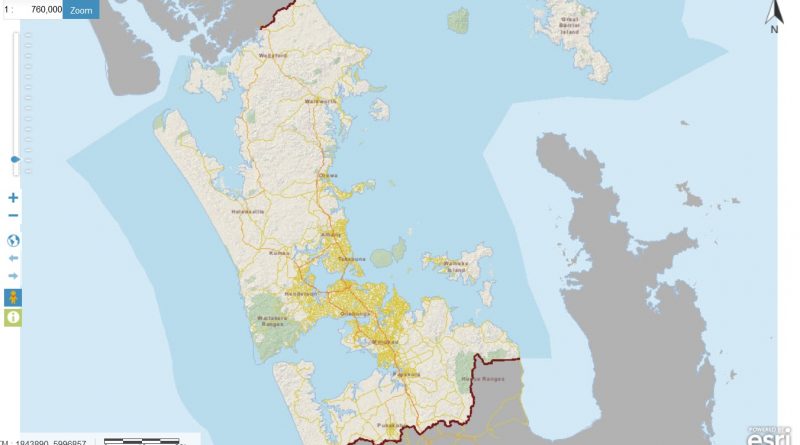
Latest GIS Viewer for Auckland Council, containing spatial and non-spatial data from across the Auckland region that includes; Property, Rating, Parks and Underground Services. There is also a wealth of other data available at your finger tips, via the Themes or Data Discovery tool.
Please be aware that there are Terms and Conditions (see Disclaimer button at bottom of page) associated with this website and the information contained herein is provided to Auckland Council users as a service.
Help with GeoMaps
Please read the information in the help section to get the most out of this service.If you experience disruptions please close the viewer and try again after a few minutes.If you require further assistance with GeoMaps viewer please contact the Auckland Council Geospatial Team
Source: GEO Maps Auckland Council